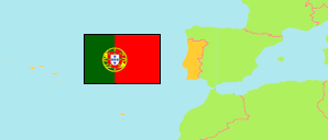
Igreja
in Santa Maria da Feira (Aveiro District)
Contents: Locality
The population of Igreja as well as related information and services (weather, Wikipedia, Google, images).
| Name | Municipality | Population Census 2011-03-21 | |
|---|---|---|---|
| Igreja (in: Sanguedo) | Santa Maria da Feira | 305 | → |
Source: Instituto Nacional de Estatística Portugal (web).
Explanation: Area figures are computed by using geospatial data.
Further information about the population structure:
| Gender (C 2011) | |
|---|---|
| Males | 145 |
| Females | 160 |
| Age Groups (C 2011) | |
|---|---|
| 0-19 years | 76 |
| 20-64 years | 166 |
| 65+ years | 63 |
