Heerhugowaard / Scharwoude / Broek op Langedijk
Contents: Urban Center
The population development of Heerhugowaard / Scharwoude / Broek op Langedijk as well as related information and services (weather, Wikipedia, Google, images).
| Name | Municipality | Population Census 2001-01-01 | Population Estimate 2008-01-01 | Population Estimate 2011-01-01 | Population Estimate 2018-01-01 | |
|---|---|---|---|---|---|---|
| Heerhugowaard / Scharwoude / Broek op Langedijk | 59,365 | 66,395 | 67,830 | 72,475 | → |
Source: Statistics Netherlands (web).
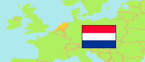
Explanation: The 2018 population of urban centers is computed by »City Population« using a 100m population grid and adapted boundaries of the 2011 urban centers. Single institutions are not listed. The map depicts the 2011 boundaries.
Further information about the population structure:
| Gender (E 2011) | |
|---|---|
| Males | 33,945 |
| Females | 33,885 |
| Age Groups (E 2011) | |
|---|---|
| 0-14 years | 13,685 |
| 15-64 years | 45,420 |
| 65+ years | 8,720 |
| Birth Country of Parents (E 2011) | |
|---|---|
| Netherlands | 56,700 |
| Western country | 5,195 |
| Non-western country | 5,930 |